Site for 90 dwellings off Lowerside Lane, with outline planning consent, Glastonbury, BA6
Property Details
Plot
Description
Property Details: • Type: Plot • Tenure: FREEHOLD • Floor Area: N/A
Key Features: • Outline Planning Permission • Phosphate Credits Secured • Approx. 6.87 ha/ 17 acres
Location: • Nearest Station: Castle Cary Station • Distance to Station: 9.404740769626102 miles
Agent Information: • Address: 6 The Bridge, Frome, BA11 1AR
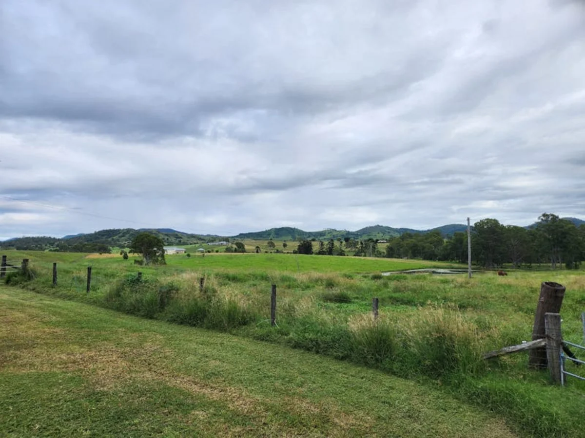
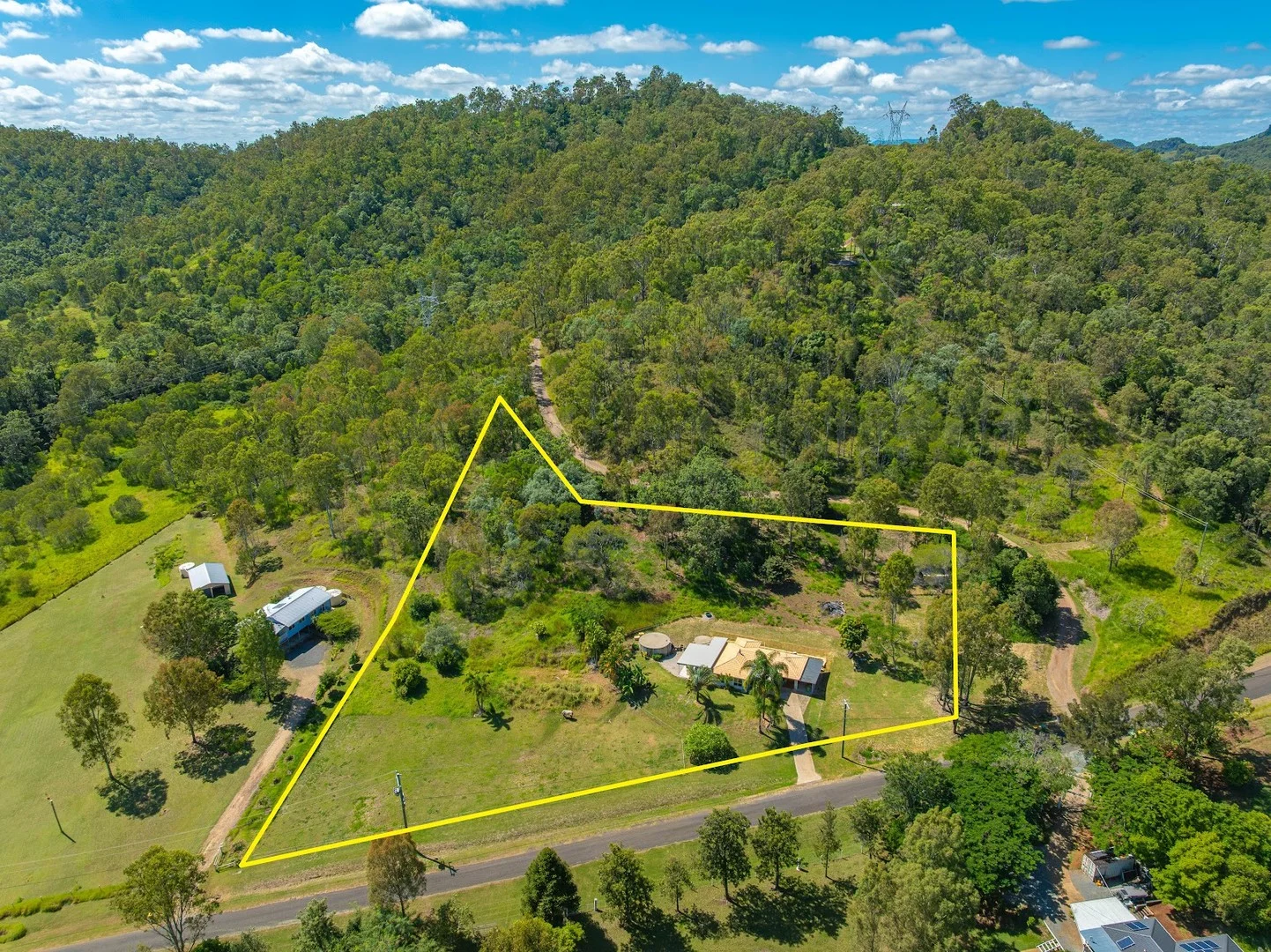
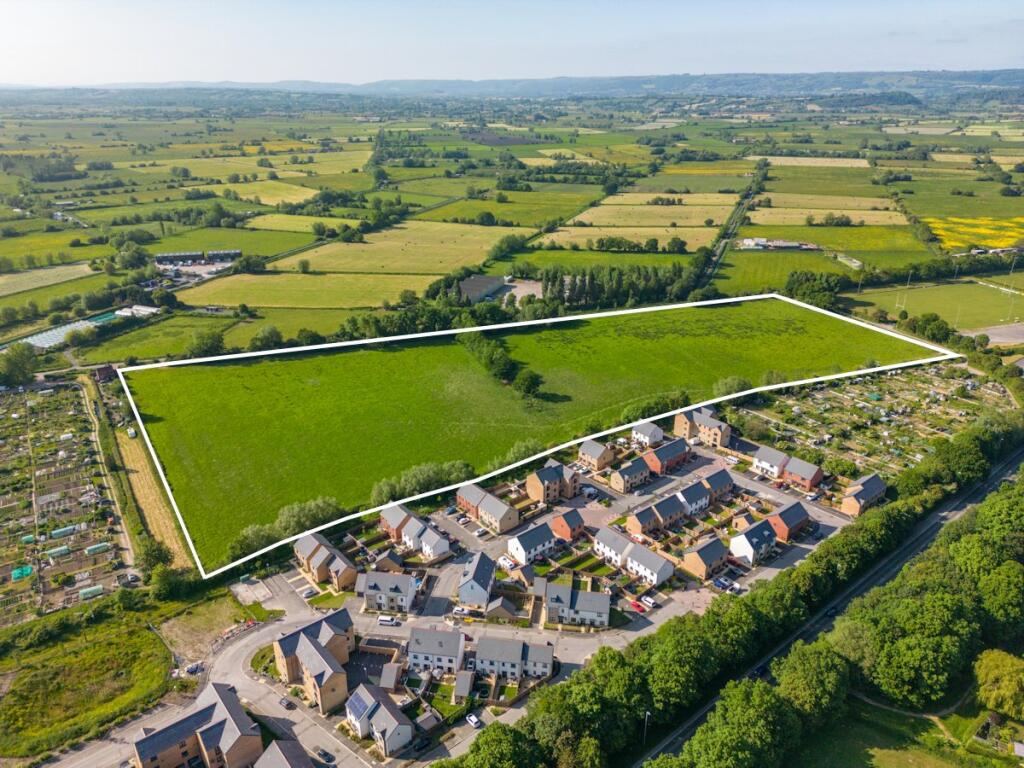
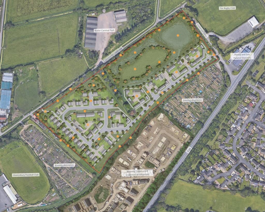
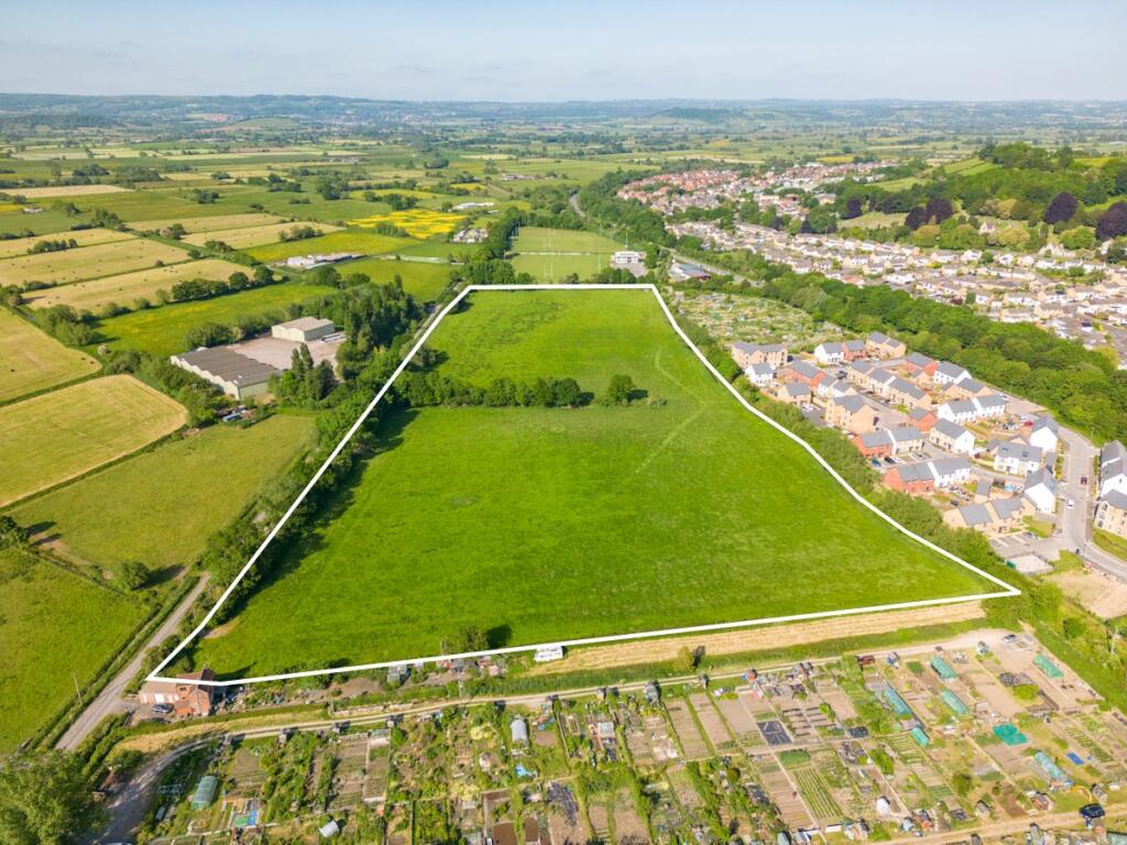
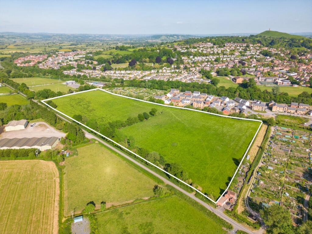
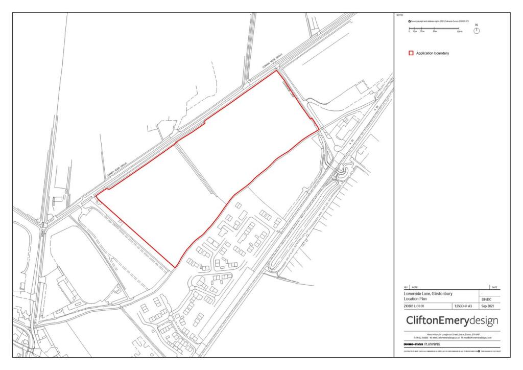
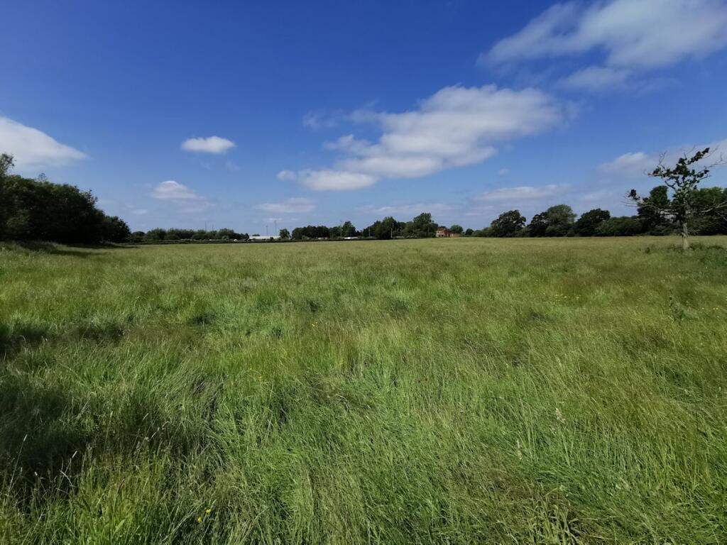
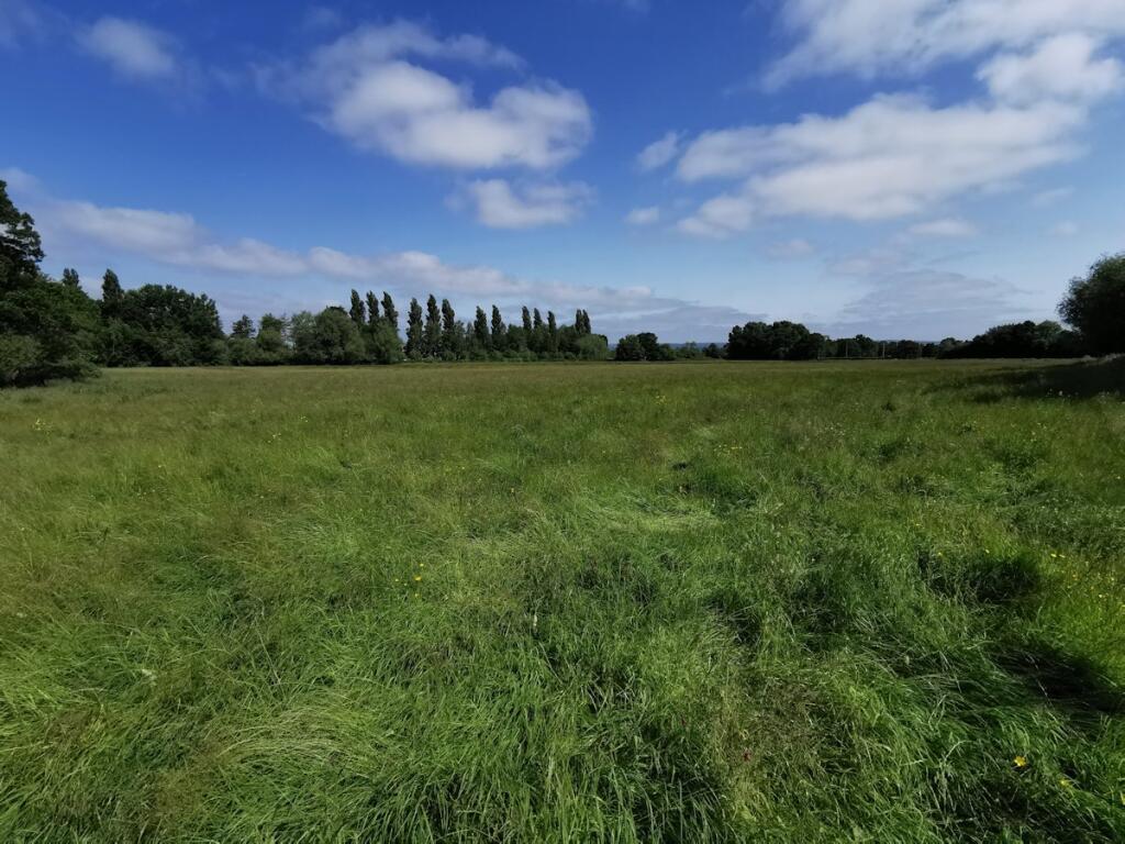
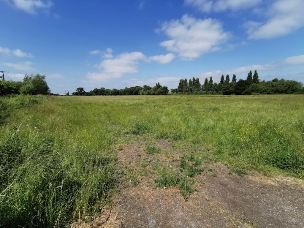
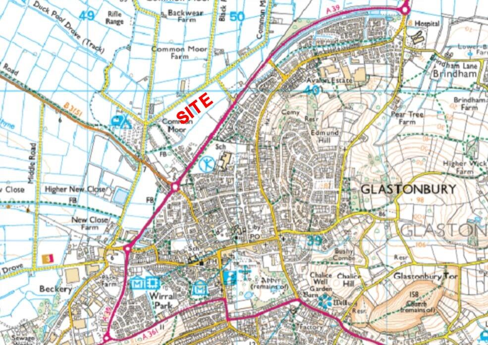
Full Description: <p>A broadly level greenfield residential development site with the benefit of outline planning permission (Ref.2021/2466/OTS) for up to 90 dwellings. The site is located on the northwest edge of the historic town of Glastonbury & extends to approximately 6.87 hectares (17 acres). It currently comprises of agricultural grass land with an access gate in the northeast corner off Lowerside Lane just off the A39 where the site access is proposed. There is another access gate in the southwest corner off Common Moor Drove. To the southeast of the site are allotments and the recent "Kingsfield" housing development, to the southwest are more allotments and to the northeast is Tor Rugby Club and a funeral directors. There are rhynes (drainage ditches) running along three of the boundaries (not the southwest) which are flanked by vegetation and trees.</p><p>development-property </p>
Location
Address
Site for 90 dwellings off Lowerside Lane, with outline planning consent, Glastonbury, BA6
City
Glastonbury
Features and Finishes
Outline Planning Permission, Phosphate Credits Secured, Approx. 6.87 ha/ 17 acres
Legal Notice
Our comprehensive database is populated by our meticulous research and analysis of public data. MirrorRealEstate strives for accuracy and we make every effort to verify the information. However, MirrorRealEstate is not liable for the use or misuse of the site's information. The information displayed on MirrorRealEstate.com is for reference only.