For Rent
Price on request
Properties for sale near Land Street, Keith AB55
Studio
Keith


Property Details: • Type: 652 sq ft • Tenure: N/A • Floor Area: N/A
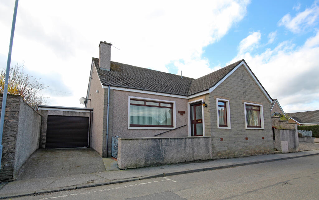
Key Features: • Established smallholding • Highly scenic rural location • Approximately 4 miles south of Keith • Outbuildings • Extends to approximately 10.42 hectares (25.75 acres)
Location: • Nearest Station: Keith Station • Distance to Station: 5.2 miles
Agent Information: • Address: Station Road, Bridge Of Allan, Stirling, FK9 4JS
Full Description: Keith offers a good range of local services including a variety of shops, supermarkets, sports and leisure facilities, both primary and secondary schooling and a railway station. To the south east lies Huntly which also has a good range of amenities and shops whilst Elgin to the north west provides extensive further amenities. 13 miles to the North, lies the popular Speyside village of Fochabers. Aberdeen International Airport is about 42 miles away offering regular domestic and international flights whilst the city of Aberdeen (47 miles) is the ‘oil capital of Europe’ providing all of the facilities one would expect from a cosmopolitan city including excellent shopping and a superb choice of restaurants, galleries, sports facilities and theatres.Upper Lynemore comprises of a compact farming unit, which extends to approximately 10.42 hectares (25.75 acres) in total and includes a range of farm buildings and an area of farmland.
The property lies in a highly scenic rural location approximately 4 miles south of Keith and approximately 9½ miles northwest of Huntly within Morayshire. The property is also approximately 6 miles northeast of Dufftown. The property is accessed from a steep farm track which sweeps passed the outbuildings to the entrance of the farmhouse. The house, over one level, has been a much loved family home and is presented in move-in order throughout. The property is thoughtfully laid out and tastefully decorated. There are beautiful gardens to three sides with outstanding panoramic view.
The farm is used for stock farming purposes and the land is generally ploughable and in reasonable order. The soils are described on the Hutton Institute Soil Plans as being mainly humus iron podzols, some brown forest soils and gleys of the Strichen Soil Association. The land undulates towards the south with a mainly easterly aspect and lies at approximately 240 metres above sea level. Field boundaries consist mainly of post and wire fencing which appears to be in reasonable order and generally stock proof. The land is shown on the Hutton Institute Land Capability for Agriculture Plans as ranging between Classes 3:2 and 4:1 in quality. As such the land is deemed to be suitable for the production of grass for grazing purposes with some limited potential for cropping.
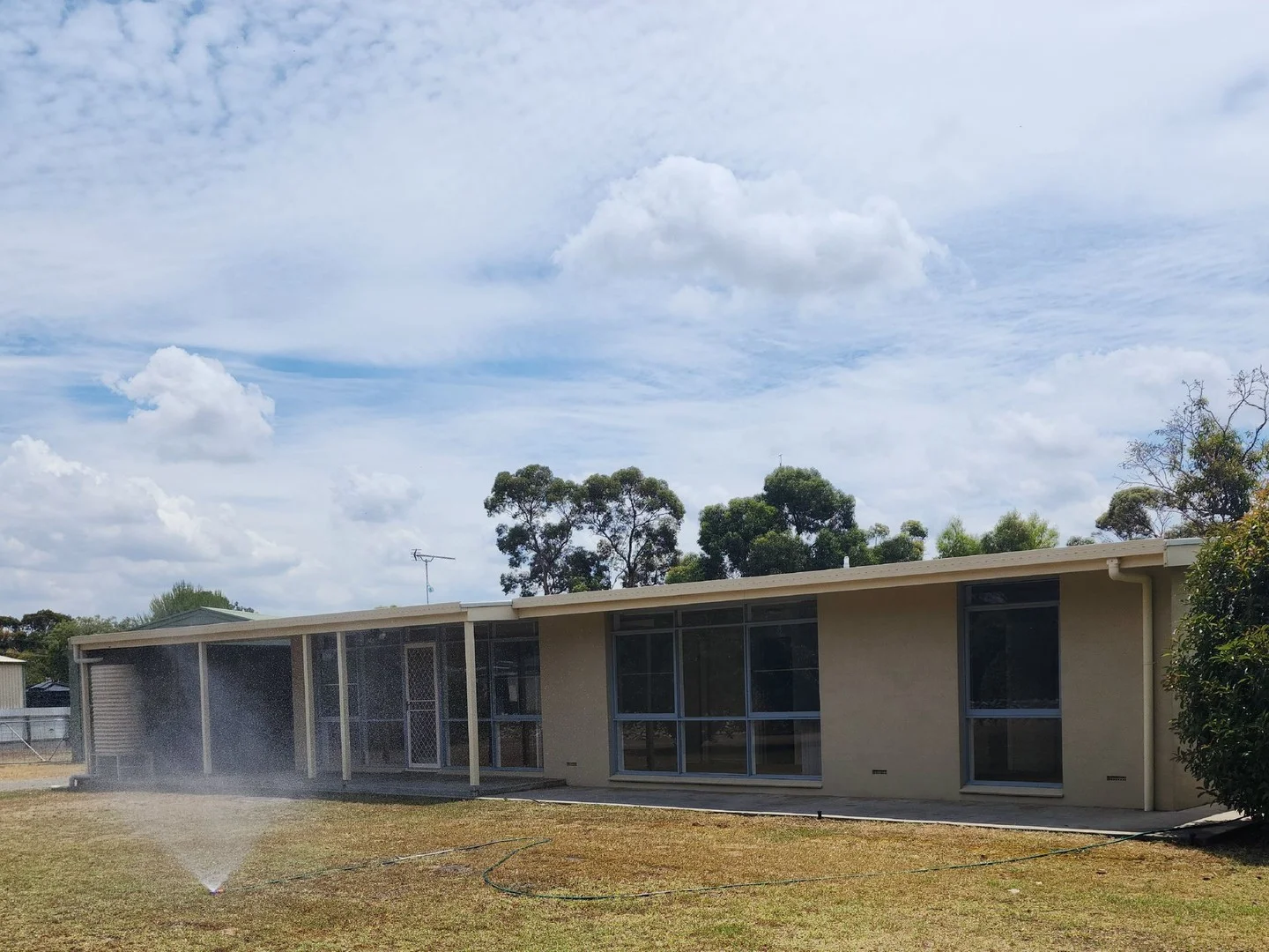
The outbuildings are of mixed repair and provide useful shelter and storage. There is a large hardstanding area located adjacent to the steading which is used for the storage of bales. Mains electricity and private water are connected to some but not all of the buildings.Energy Performance CertificatesEPC 1